


You have no items in your basket.
![]()
We are delighted to announce Surfdome is now part of the BrandAlley family.
Hurley Womenswear
Ends Today 0:00:21
Up to 55% off

Hurley Menswear
Ends Today 0:00:21
Up to 50% off

Sunny Days Ahead! New In Crocs
Ends Today 0:00:21
Up to 45% off

Get Active This April
Ends Today 0:00:21
Up to 60% off

Levi's® Women's Jeans Clearance
Ends Today 0:00:21
Up to 60% off

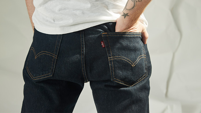
Levi's® Men's Jeans Clearance
Ends Today 0:00:21
Up to 60% off
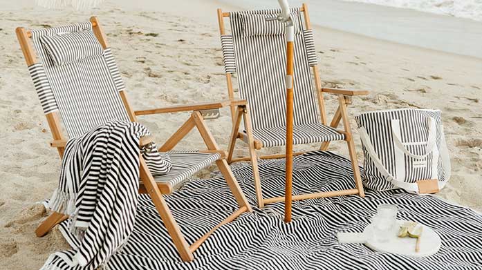
Branded Beach Towels
Ends Today 0:00:21
Up to 55% off

Internet Fusion Group Limited, Internet Fusion Limited, Surfdome Shop Limited, Country Attire Limited, Country Attire Holdings Limited and Newtyle Trading Company Limited entered administration on 28 April 2023. Tony Wright and Alastair Massey of FRP Advisory Trading Limited were appointed to act as joint administrators. The affairs, business and property of the companies are being managed by the joint administrators, who act as agents and without personal liability.
The aforementioned companies are no longer trading, and the websites of these companies are not currently operational. For customers who have recently made orders that have not yet been delivered, we have been unable to fulfil these orders and those customers concerned should seek recovery of their monies through a Section 75 of the Credit Consumer Act claim or through a chargeback claim. Please contact your card provider in order to lodge such a claim.
For customers wishing to process the return of goods previously purchased, we can accept those returns but are not in a position to refund the cost of those goods. Again, customers in this position should seek recovery of their monies through a Section 75 of the Credit Consumer Act claim or through a chargeback claim and contact their card provider in order to lodge such a claim.
All queries relating to the companies should be sent to [email protected].